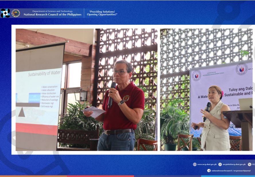
DOST-NRCP shares R&D data to improve management of the Benguet watershed
The Cordillera Administrative Region (CAR) is known as the Watershed Cradle of the North with 13 watersheds and 208,065 hectares service area. One identified resource in need of conservation in the Cordilleras is the Bued River.
For the past 20 years, a major portion of Bued Watershed in Tuba, Benguet, Cordillera Administration Region (CAR) has been converted to urban areas and agricultural lands. Recent data released by the team of Dr. Nathaniel Vincent Lubrica, a research expert – member of the Department of Science and Technology-National Research Council of the Philippines (DOST-NRCP), says that about 8.64 hectares per year of the watershed is being converted to agricultural lands.

The Bued River watershed covers the historic and scenic Kennon Road and other ecotourism spots. Industrial firms and companies are also located within the watershed area. Also, along the Bued River are numerous undocumented small-scale mining ventures.
Dr. Lubrica confirmed that the satellite images they captured showed a significant proliferation of built areas, especially in Baguio.
The research project collected data across time and spaces and included historical data, physical characteristics, soil study, and socio-demographic information, among others that could help ensure water security for mountain communities in the region.
Installation of sensors in Bued watershed was done by Lubrica’s team to capture data from the ground, identify water quality, and determine temperature changes across time. Geographic Information System (GIS) along with GPS and remote sensing are powerful tools in watershed management for real-time water quality assessment and monitoring.
With a georeferenced base map, structures and land use affecting the river were digitized. Landcover maps have been shared with LGUs of Baguio, Itogon, and Tuba to enhance their understanding of landcover changes in their respective areas.
Lubrica’s project also revealed 14 mining pollution source types in the Bued River. Through interviews, he found that the proliferation of houses was evident since the small-scale mining boom in 2006. The structures affecting the Bued river were composed mainly of residential use quantified at 75% of the total.
“I recommend further exploration of the uses of Geographic Information System (GIS) in different application and its implications to policy-making,” explained Lubrica.
The results of the study can be a basis for action as well as improved policy implementations in terms of environmental protection and governance. With this, institutionalization of GIS in different aspects of monitoring and updating is recommended.
DOST Secretary Renato U. Solidum, Jr. underscores the importance of wealth protection as a foundation of sustainable development.
“By integrating appropriate technologies and engaging local communities, we transform these tools into powerful instruments for effective watershed management, ensuring the sustainability of vital resources in the Bued Watershed and the Upland Watersheds of Mountain Province”, Secretary Solidum mentioned.
Lubrica’s completed project titled, Decision Support and Nurturing Management of Watersheds, was under DOST-NRCP’s priority programs under the National Integrated Basic Research Agenda. He shared this research results on May Magandang Bukas Mula sa Pagtuklas (MMBMP), a knowledge-sharing talk show featuring the research experts/scientists as key informants and run by DOST-NRCP.
DOST-NRCP is an advisory body to the Philippine government on matters of national interest. (Venus Abigail D. Gutierrez, S&T Media Service)


